

 Traffic Cameras Near Me
 1 hwy-1 Duncan Cameras
 Other British Columbia Cities
DOT Accident and Construction Reports
-
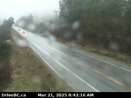
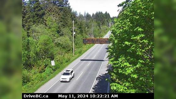
TYPE: Construction Moderate
-
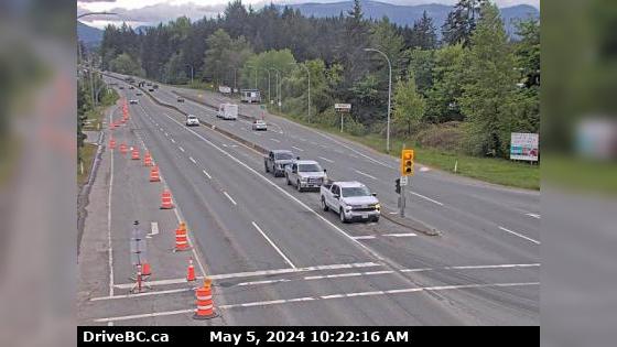
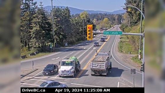
TYPE: Construction Moderate
-
Road Closed Mount Maxwell Road, in both directions. Road construction work between Wright Road and End
TYPE: Construction Moderate
 Fairbanks Rd, in both directions. Utility work between 1110 Fairbanks Rd and 1108 Fairbank
 ![]() More results in our Duncan British Columbia Archives
More results in our Duncan British Columbia Archives
Older Duncan BC User Reports
-
Accident
- Kelowna
- British Columbia
- Richter Steert And Harvey Avenue Intersection
- By Leticia Moody
 178
178- 2 years ago
Vehicle accident occurred at 6:23 am November 7th 2022 involving a 4 door black mazda sedan. Looking for a witness or dash camera footage Read More
 Duncan Motorcycle Accidents
 Duncan Truck Accidents
 Duncan DUI Related Accidents
 Duncan Fatal Accidents
 Duncan Car Accidents
 41° F
41° F