

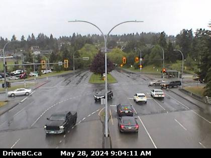
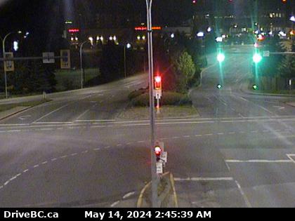
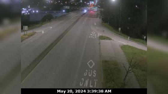
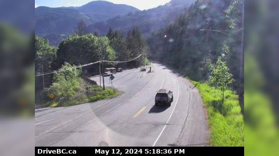
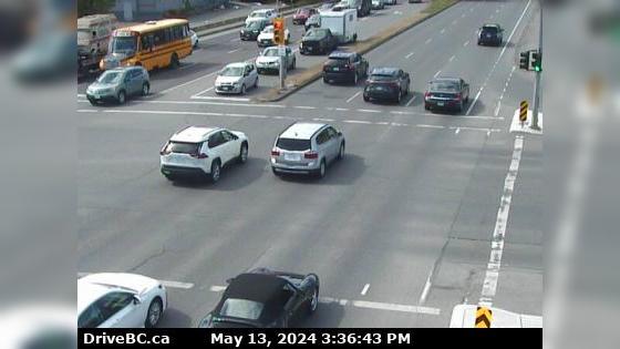
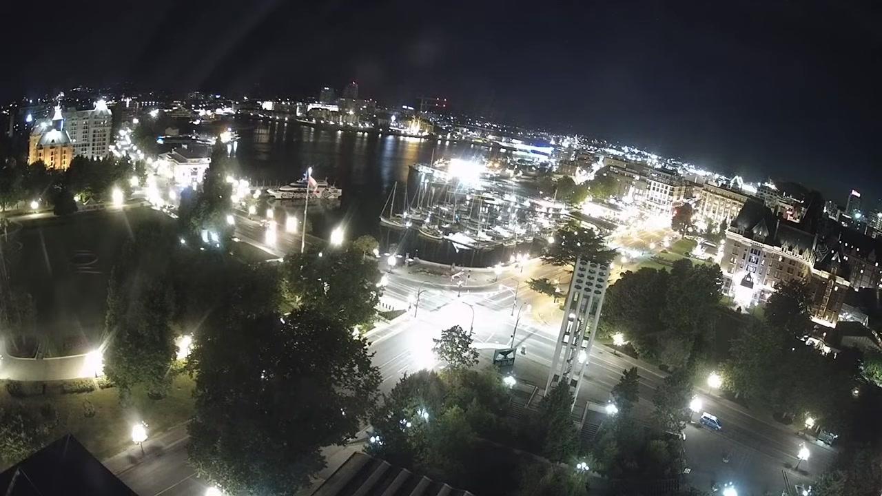
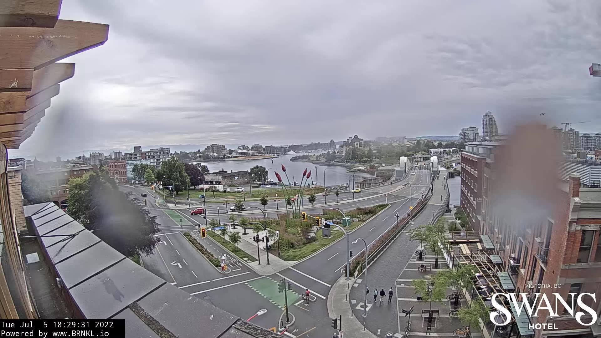
Victoria British Columbia Traffic Cameras

Near Victoria, British Columbia")
 Traffic Cameras Near Me
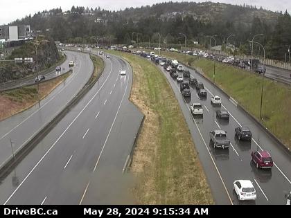
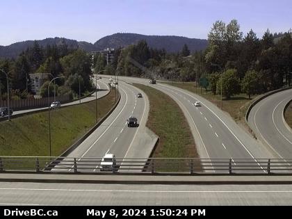
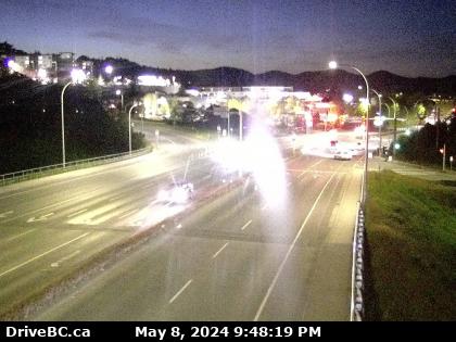
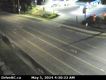
 1 hwy-1 Victoria Cameras
 Other British Columbia Cities
DOT Accident and Construction Reports
-
TYPE: Construction Serious
-
TYPE: Construction Serious
-
TYPE: Construction Serious
-
TYPE: Construction Serious
-
TYPE: Construction Serious
-
TYPE: Construction Serious
-
TYPE: Construction Serious
-
TYPE: Miscellaneous Serious
-
TYPE: Construction Serious
-
TYPE: Miscellaneous Serious
 Harbour Rd Road is closed from E and N Railway to Esquimalt Rd.
 ![]() More results in our Victoria British Columbia Archives
More results in our Victoria British Columbia Archives
Older Victoria BC User Reports
-
Accident
- Kelowna
- British Columbia
- Richter Steert And Harvey Avenue Intersection
- By Leticia Moody
 176
176- 2 years ago
Vehicle accident occurred at 6:23 am November 7th 2022 involving a 4 door black mazda sedan. Looking for a witness or dash camera footage Read More
 Victoria Motorcycle Accidents
 Victoria Truck Accidents
 Victoria DUI Related Accidents
 Victoria Fatal Accidents
 Victoria Car Accidents
 23° F
23° F