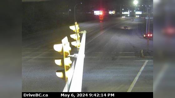
Tumbler Ridge › North-West: Hwy 29 at Hwy 52, looking west on Hwy

Webcam provided by windy.com — add a webcam
Hwy-5 British Columbia Traffic Cameras
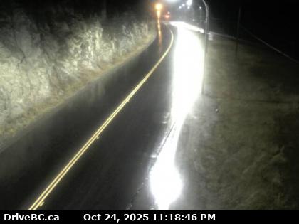
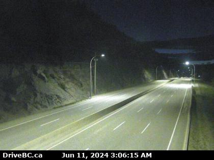
Okanagan Aspen Grove › North: Hwy 97C (Okanagan Connector), at Hwy 5A Junction, near - looking north
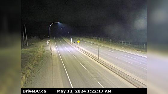
Pouce Coupe Hwy-2, 2 km west of BC/Alberta border at Hwy-2 and Hwy-52 junction, looking east. (elevation: 747 metres)
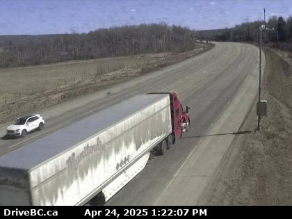
Pouce Coupe Hwy-2, 2 km west of BC/Alberta border at Hwy-2 and Hwy-52 junction, looking west. (elevation: 747 metres)
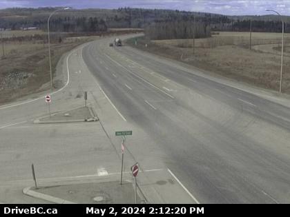
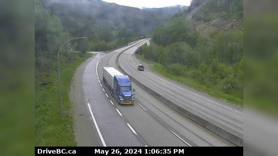
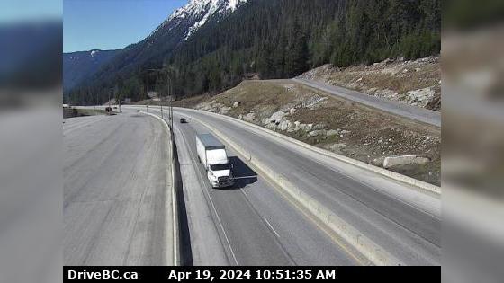
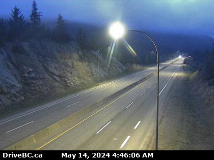
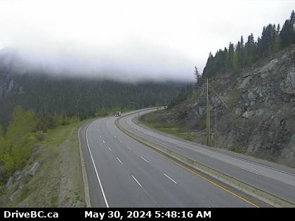
Princeton Hwy-5, by Britton Creek Rest Area northbound turnoff, looking north. (elevation: 1132 metres)
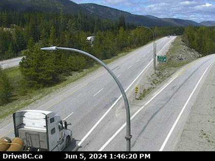
Princeton Hwy-5, by Britton Creek Rest Area northbound turnoff, looking south. (elevation: 1132 metres)
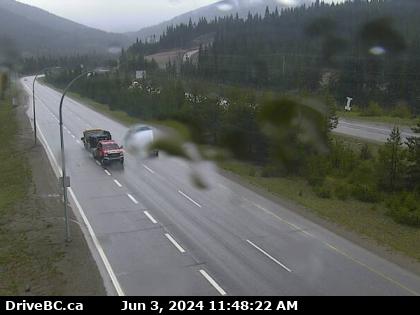
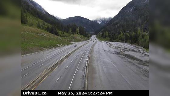
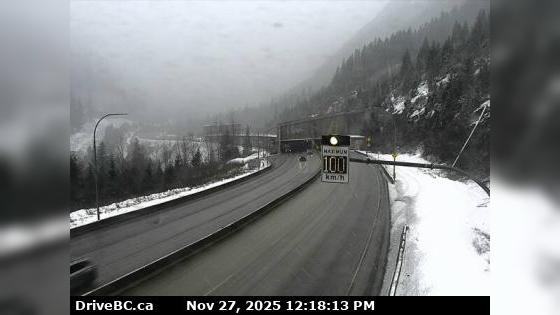
Princeton Hwy-5, northbound at Zopkios Rest Area, near the Coquihalla Summit looking north. (elevation: 1208 metres)
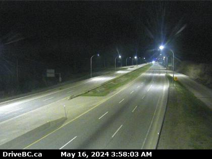
Princeton Hwy-5, northbound at Zopkios Rest Area, near the Coquihalla Summit looking south. (elevation: 1208 metres)
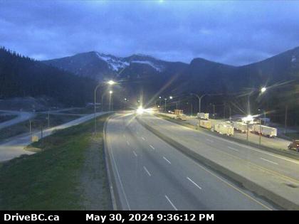
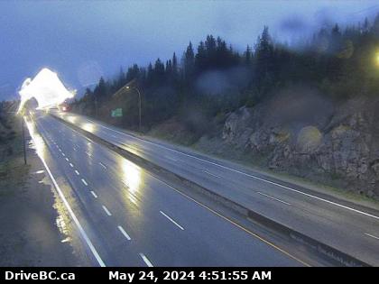
Princeton Hwy-5, southbound at Zopkios Rest Area, near the Coquihalla Summit, looking northeast. (elevation: 1210 metres)
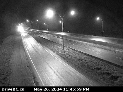
Princeton Hwy-5, southbound at Zopkios Rest Area, near the Coquihalla Summit, looking southwest. (elevation: 1210 metres)
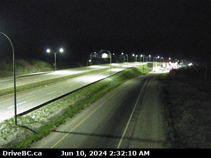
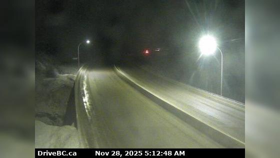
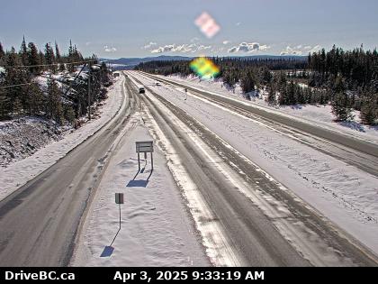
Merritt Hwy-97C (Okanagan Connector), about 25 km east of Hwy-5A/97C Jct, looking west. (elevation: 1621 metres)
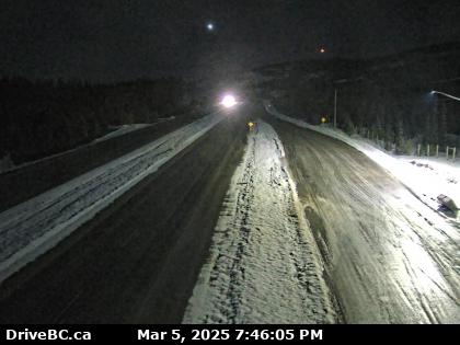
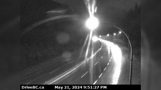
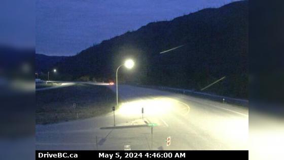
Merritt Hwy-97C (Okanagan Connector), at Hwy-5A Junction, near Aspen Grove, looking north. (elevation: 1071 metres)
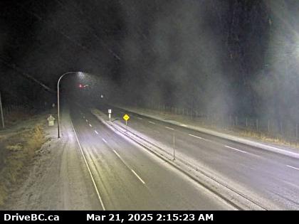
Merritt Hwy-97C (Okanagan Connector), at Hwy-5A Junction, near Aspen Grove, looking south. (elevation: 1071 metres)
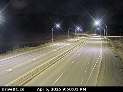
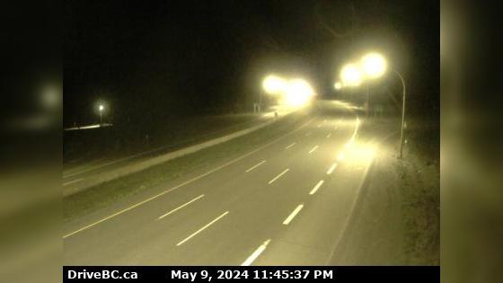
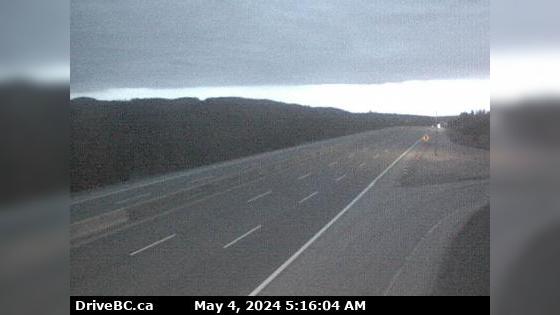
Zoom in and out of the this traffic Cam Map, and click on the red camera icon to open the live video feed, and see the traffic on your desired location. Alternatively, you can list all the traffic cams for one city in British Columbia.


 5 Traffic Cams
 5 British Columbia Traffic
 9° F
9° F