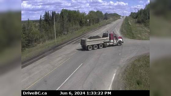
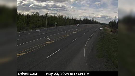
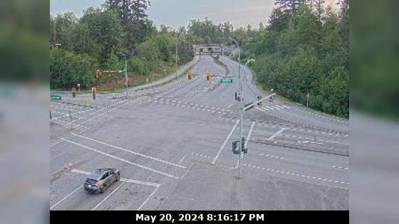
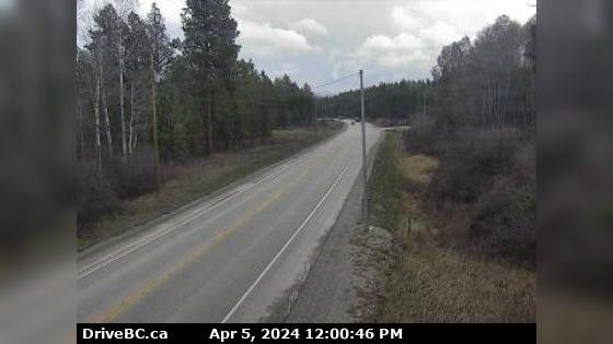
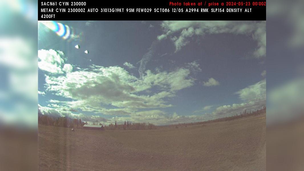
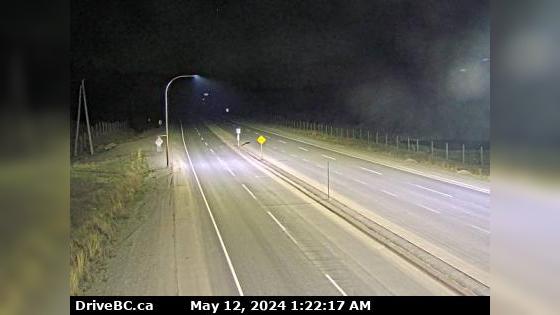
Chetwynd › East: Hwy 97 at Wabi Estates Road, east of - looking east
Webcam provided by windy.com — add a webcam
C British Columbia Traffic Cameras
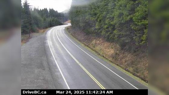
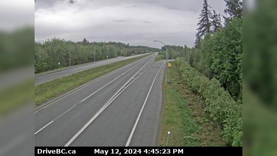
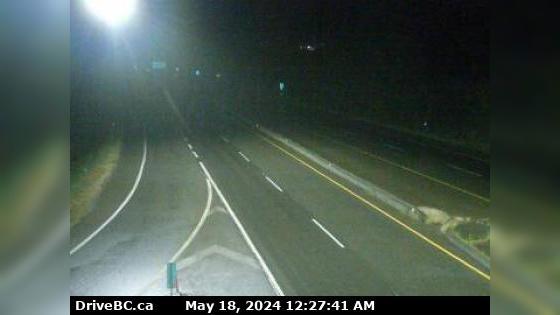
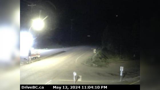
Campbell River Area A › North: Hwy 19 at Menzies Hill, about 7 km southeast of Roberts Lake and 24 km north of Campbell River, looking north
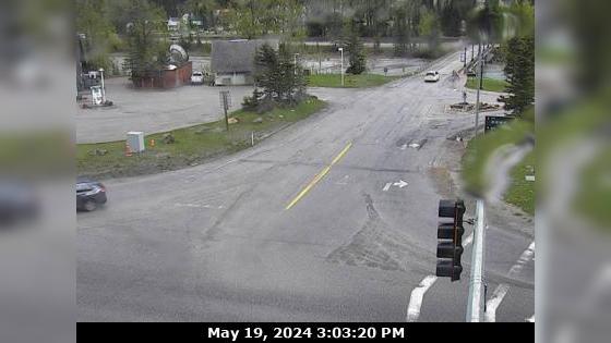
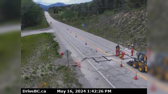
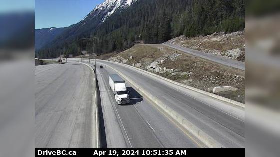
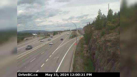
Area A Area A › South-East: Hwy 1 at Field Access Road, about 16 km west of BC/Alberta border, looking southeast
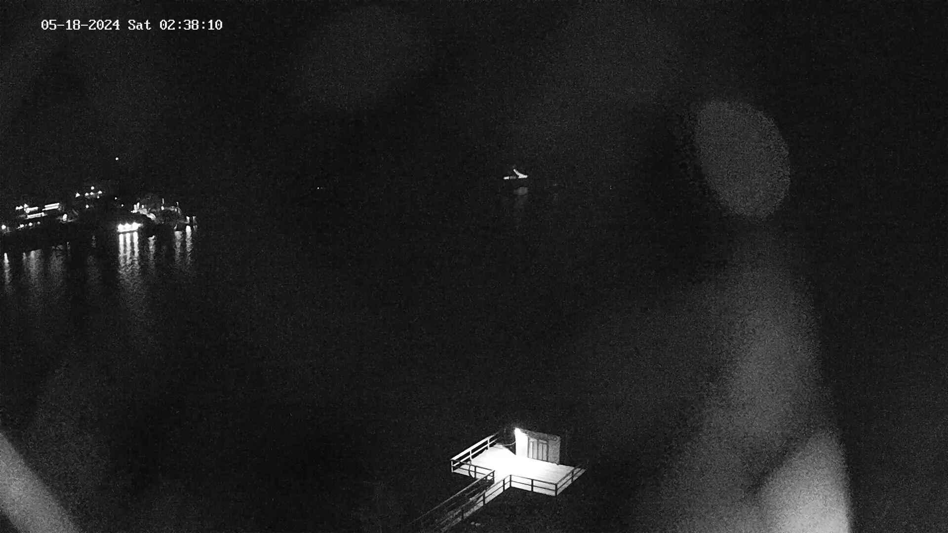
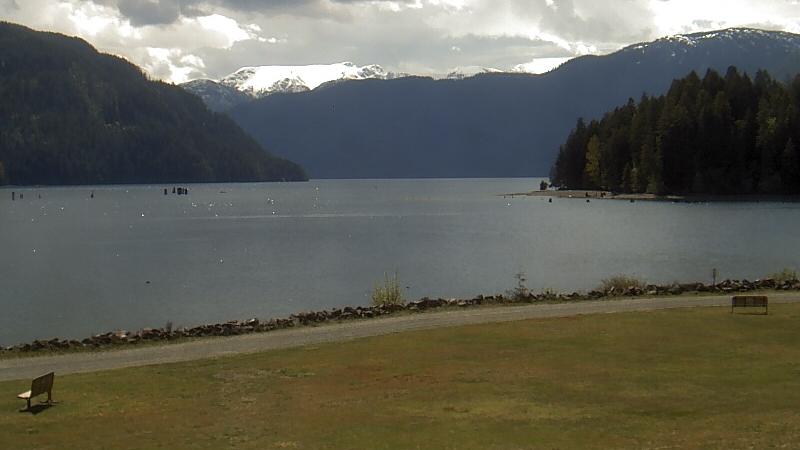
Vancouver Area B › South: Comox Harbour - Comox Harbour Authority and the Beaufort Range on Vancouver Island

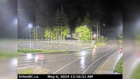
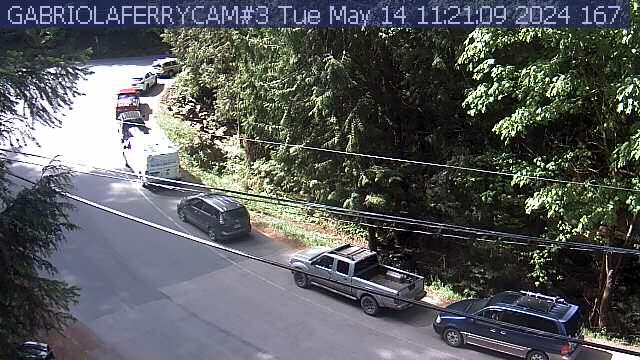
Area E › East: Hwy 3A & Hwy 31 at Busk Road near the Balfour inland ferry terminal entrance, looking at ferry parking lot
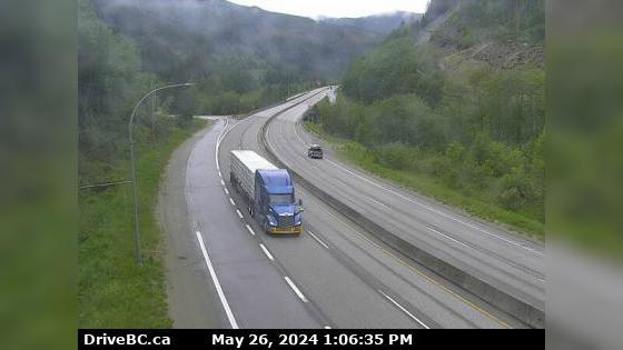
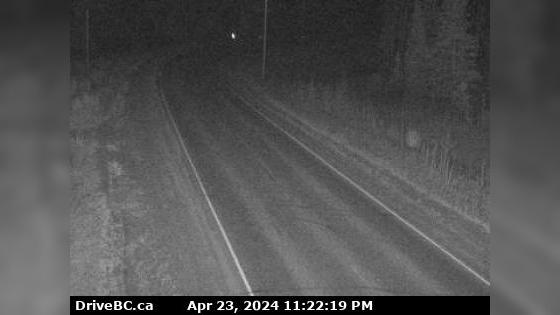
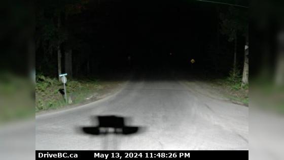
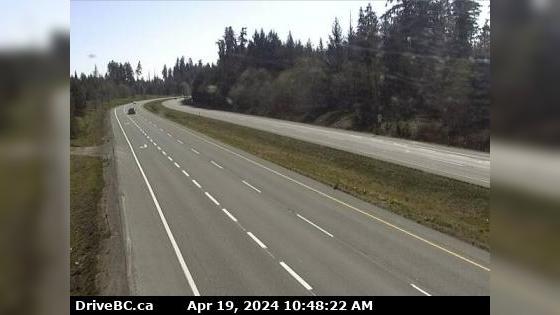
Parksville Area H › North: Hwy 19 at Cook Creek Road, about 29 km north of Parksville, looking north
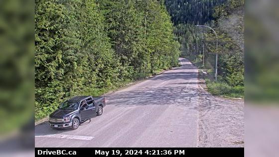
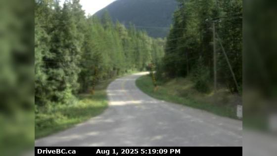
Nakusp Area K › South: Hwy 6 at South Arrow Park Ferry Terminal, 22km south of Nakusp at junction of Upper and Lower Arrow Lakes, looking south on Arrow Park Road
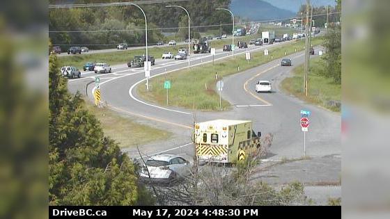
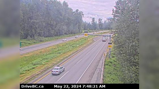
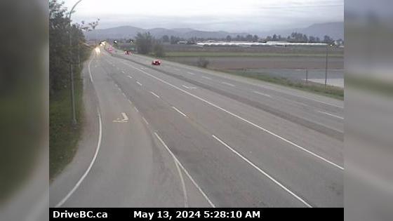
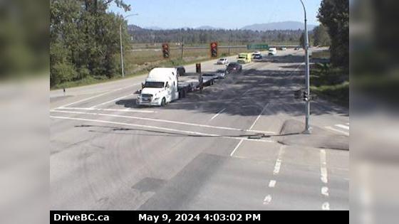
Zoom in and out of the this traffic Cam Map, and click on the red camera icon to open the live video feed, and see the traffic on your desired location. Alternatively, you can list all the traffic cams for one city in British Columbia.



 Traffic Cams
 Highway 1 (TransCanada Highway), in both directions. Blasting between Tappen Beach Rd and
  Roadwork from Kelowna to Cooper Rd.
 21° F
21° F