Area A › West
Webcam provided by windy.com — add a webcam
West British Columbia Traffic Cameras
Area A Area A › South-East: Hwy 1 at Field Access Road, about 16 km west of BC/Alberta border, looking southeast
![Traffic Cam Area A › South-East: Hwy 1 at Field Access Road, about 16 km west of BC/Alberta border, looking southeast Player](https://www.navbug.com/traffic-camshots/BC65509.jpg)
Port Alberni Area D › East: Hwy 4 about 37 km west of Port Alberni at turn off for Taylor River Rest Area, looking east
![Traffic Cam Area D › East: Hwy 4 about 37 km west of Port Alberni at turn off for Taylor River Rest Area, looking east Player](https://www.navbug.com/traffic-camshots/BC746330.jpg)
Port Alberni Area D › West: Hwy 4 about 37 km west of Port Alberni at turn off for Taylor River Rest Area, looking west
![Traffic Cam Area D › West: Hwy 4 about 37 km west of Port Alberni at turn off for Taylor River Rest Area, looking west Player](https://www.navbug.com/traffic-camshots/BC772008.jpg)
Area E Area E › North: Hwy 33, about 14 km north of Westbridge and 20 km south of Beaverdell, looking north
![Traffic Cam Area E › North: Hwy 33, about 14 km north of Westbridge and 20 km south of Beaverdell, looking north Player](https://www.navbug.com/traffic-camshots/BC58605.jpg)
Area K Area K › West: Hwy 6 at Needles Ferry Landing, looking west away from ferry landing towards Needles Rd N
![Traffic Cam Area K › West: Hwy 6 at Needles Ferry Landing, looking west away from ferry landing towards Needles Rd N Player](https://www.navbug.com/traffic-camshots/BC73162.jpg)
Area P › South-West: Adams Lake Ferry west shore landing, looking at ferry line up toward Rawson Road
![Traffic Cam Area P › South-West: Adams Lake Ferry west shore landing, looking at ferry line up toward Rawson Road Player](https://www.navbug.com/traffic-camshots/BC747799.jpg)
Kimberley Chapman Camp › South-West: Highway 95A at Black Bear Crescent, about 3 km south of Kimberley looking southwest
![Traffic Cam Chapman Camp › South-West: Highway 95A at Black Bear Crescent, about 3 km south of Kimberley looking southwest Player](https://www.navbug.com/traffic-camshots/BC64340.jpg)
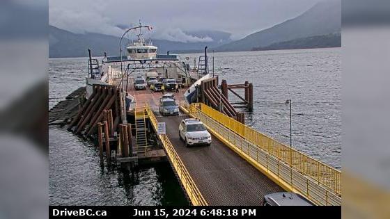
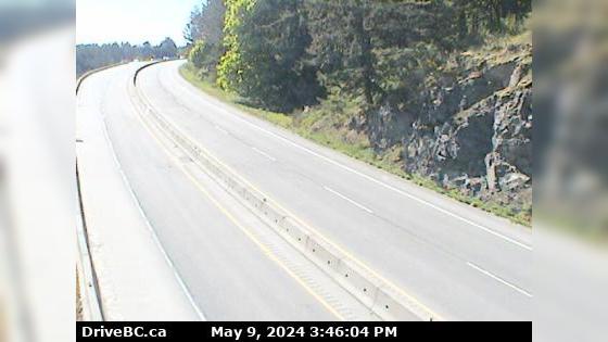
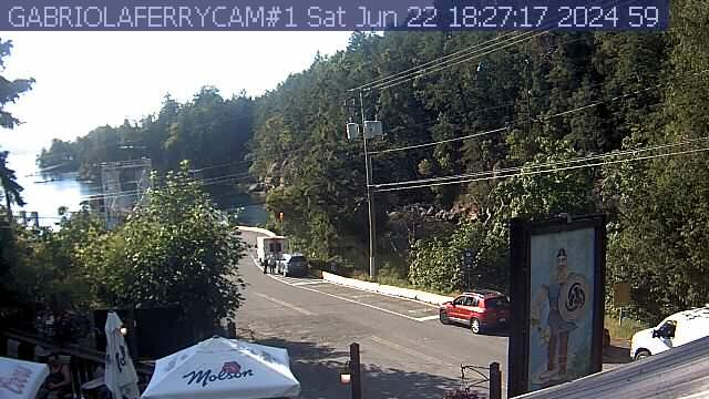
Zoom in and out of the this traffic Cam Map, and click on the red camera icon to open the live video feed, and see the traffic on your desired location. Alternatively, you can list all the traffic cams for one city in British Columbia.