

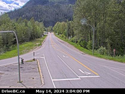
Hwy-23, near the Upper Arrow Lake ferry landing at Shelter Bay, front of queue, looking north. (elevation: 455 metres)
For inland ferry information visit Inland Ferry Schedules, and DriveBC for inland ferry incidents or delays.
For inland ferry information visit Inland Ferry Schedules, and DriveBC for inland ferry incidents or delays.
 Traffic Cameras Near Me
 2 Traffic Cams
 Other Cities Along Hwy-2
 2 Revelstoke, BC Traffic
 Hwy-2 Revelstoke, BC Accident Reports
  Hwy-2 Revelstoke, BC Weather Conditions
  Revelstoke Motorcycle Accidents
 Revelstoke Truck Accidents
 Revelstoke DUI Related Accidents
 Revelstoke Fatal Accidents
 34° F
34° F