Hwy-16 British Columbia Traffic Cameras
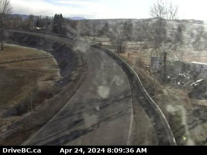
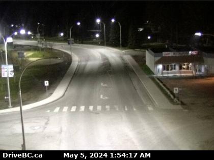
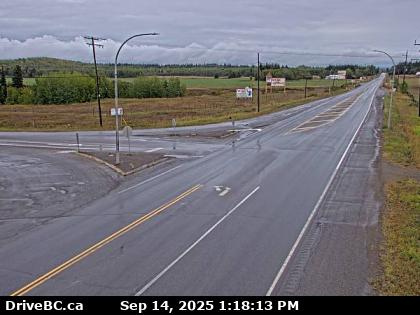
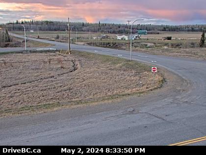
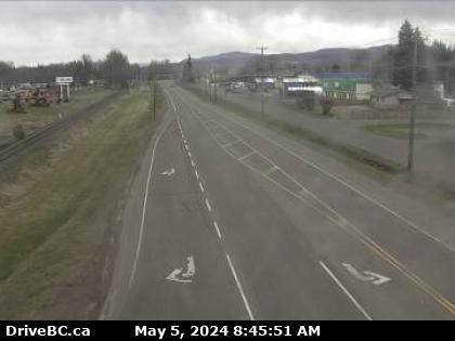
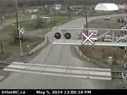
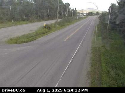
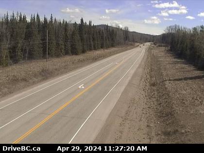
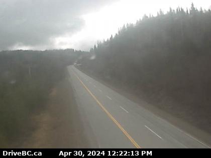
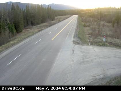
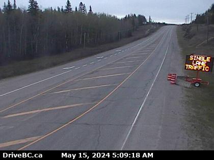
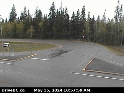
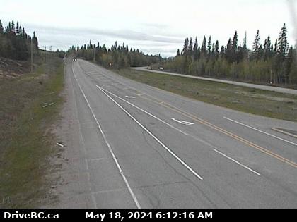
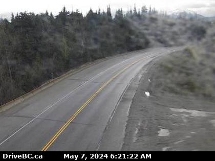
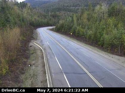
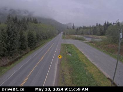
Burns Lake Hwy-16 at Augier Rd, about 22 km east of Burns Lake, looking west. (elevation: 774 metres)
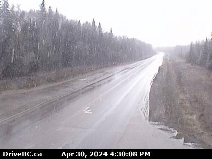
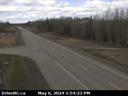
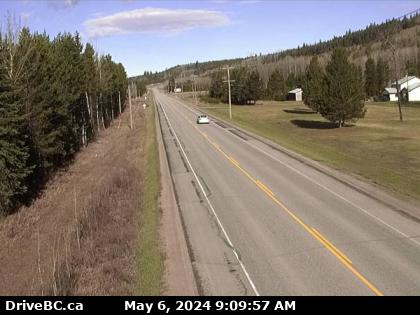
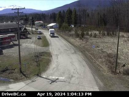
Isle Pierre Hwy-16 at Bednesti between Prince George and Vanderhoof, looking west. (elevation: 780 metres)
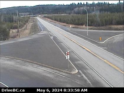
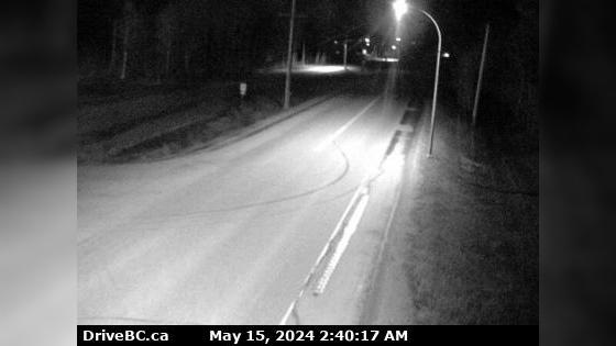
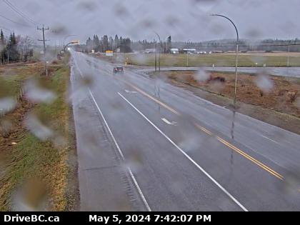
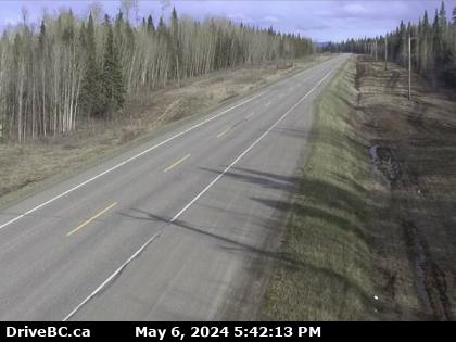
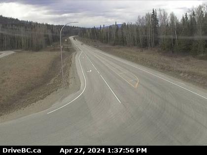
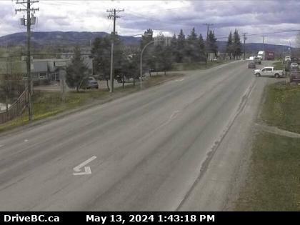
Mud River Hwy-16 at Dahl Lake Rd, about 33 km west of Prince George, looking west. (elevation: 715 metres)
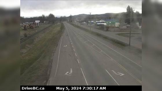
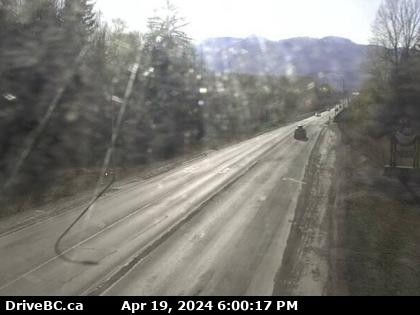
Shere Hwy-16 at Dunster Station Rd, about 30 km east of McBride, looking east. (elevation: 771 metres)
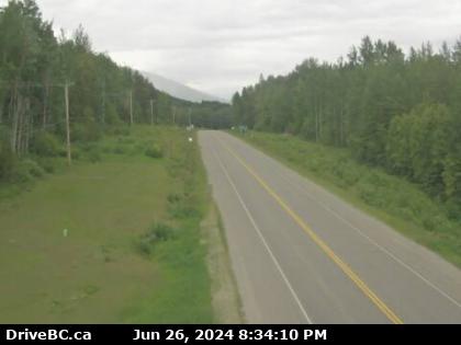
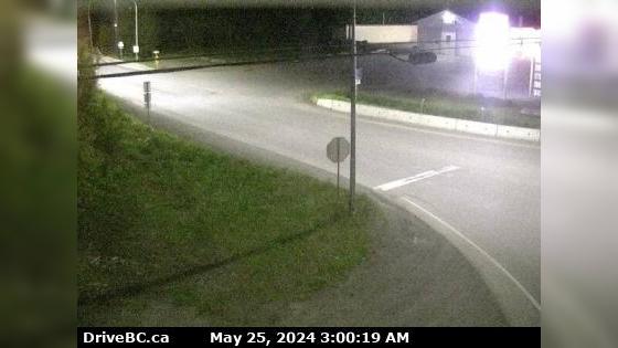
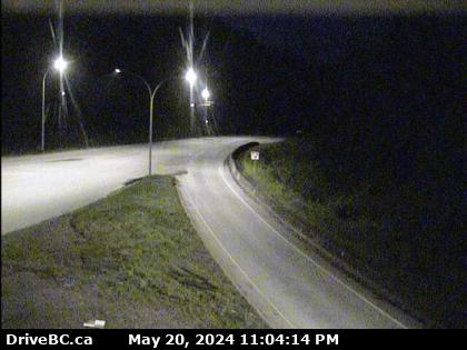
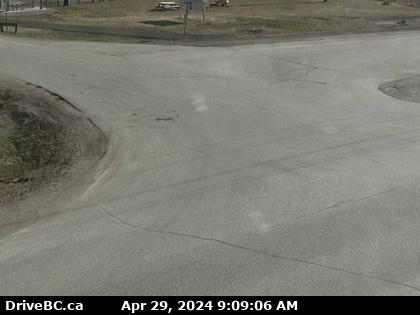
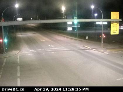
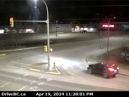
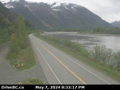
Terrace Hwy-16 at Hwy-37 near Terrace, looking east on Hwy-16. (elevation: 86 metres)
(Camera map is being updated to show this is looking south)
(Camera map is being updated to show this is looking south)
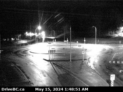
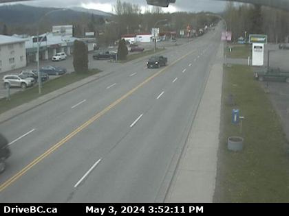
Valemount Hwy-16, 27 km east of Tete-Jaune Junction, 40 km west of BC/Alberta border. (elevation: 1045 metres)
Images and communications provided by Lakes District Maintenance Ltd.
Images and communications provided by Lakes District Maintenance Ltd.
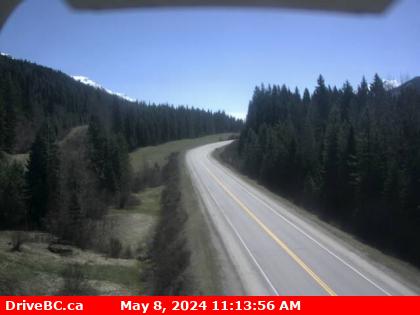
Salmon Valley Hwy-16, about 54 km east of Prince George near Purden Lake, looking west. (elevation: 736 metres)
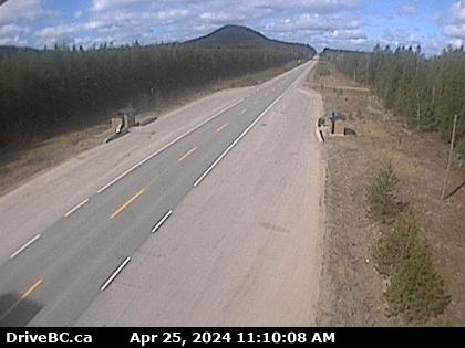
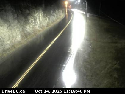
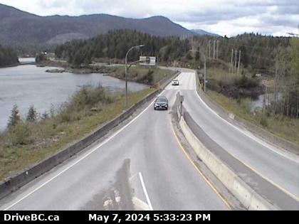
Terrace Hwy-16, at Kasiks resort area, 60 km west of Terrace, looking east. (elevation: 12 metres)
Images provided by Nechako North Coast Road & Bridge with BC Ministry of Transportation and Infrastructure.
Images provided by Nechako North Coast Road & Bridge with BC Ministry of Transportation and Infrastructure.
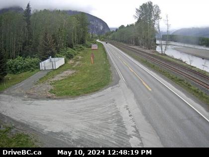
Zoom in and out of the this traffic Cam Map, and click on the red camera icon to open the live video feed, and see the traffic on your desired location. Alternatively, you can list all the traffic cams for one city in British Columbia.


 16 Traffic Cams
 16 British Columbia Traffic
 29° F
29° F