Hwy-23 British Columbia Traffic Cameras
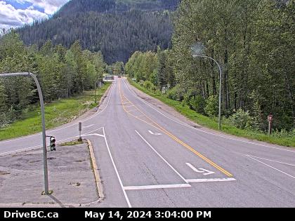
Revelstoke Area B › North: Hwy 23, about 30 km south of Revelstoke and 22 km north of Shelter Bay Ferry, looking north
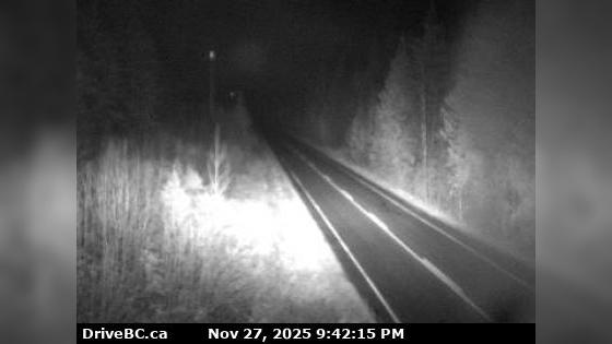
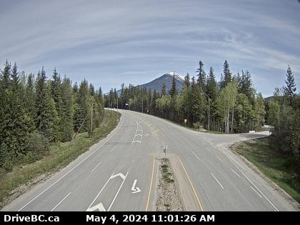
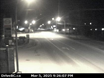
Nakusp Hwy-23, near the Upper Arrow Lake ferry landing at Galena Bay, looking at end of lineup. (elevation: 468 metres)
For inland ferry information visit Inland Ferry Schedules
For inland ferry information visit Inland Ferry Schedules
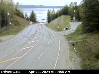
Nakusp Hwy-23, near the Upper Arrow Lake ferry landing at Galena Bay, looking at front of lineup. (elevation: 468 metres)
For inland ferry information visit Inland Ferry Schedules
For inland ferry information visit Inland Ferry Schedules
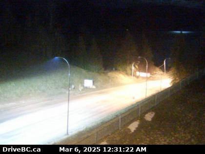
Nakusp Hwy-23, near the Upper Arrow Lake ferry landing at Galena Bay, looking at middle of lineup. (elevation: 468 metres)
For inland ferry information visit Inland Ferry Schedules
For inland ferry information visit Inland Ferry Schedules
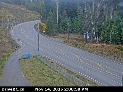
Revelstoke Hwy-23, near the Upper Arrow Lake ferry landing at Shelter Bay, front of queue, looking north. (elevation: 455 metres)
For inland ferry information visit Inland Ferry Schedules, and DriveBC for inland ferry incidents or delays.
For inland ferry information visit Inland Ferry Schedules, and DriveBC for inland ferry incidents or delays.
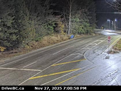
Zoom in and out of the this traffic Cam Map, and click on the red camera icon to open the live video feed, and see the traffic on your desired location. Alternatively, you can list all the traffic cams for one city in British Columbia.


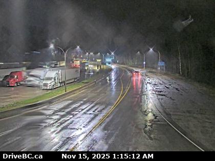
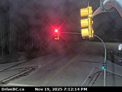
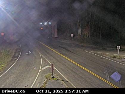
 23 Nakusp Traffic Cams
 23 British Columbia Traffic
 32° F
32° F