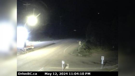
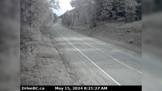
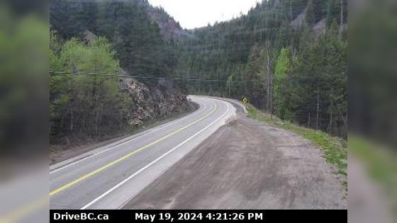
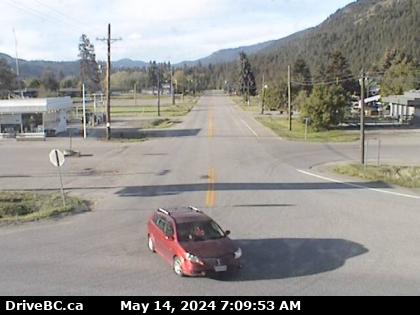
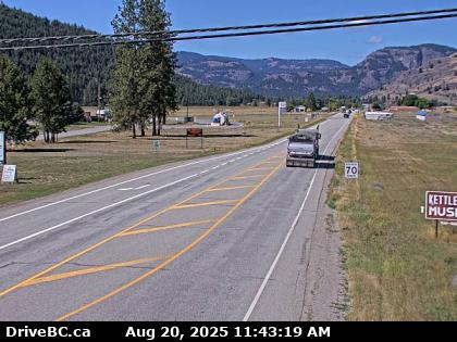
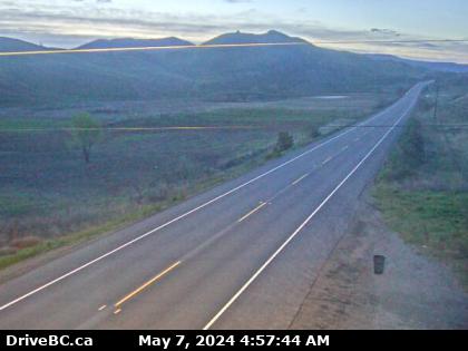
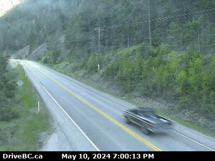
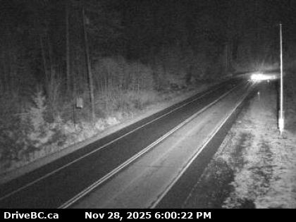
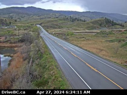
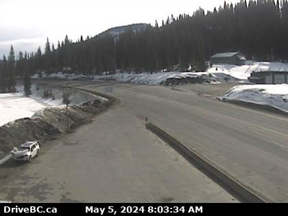
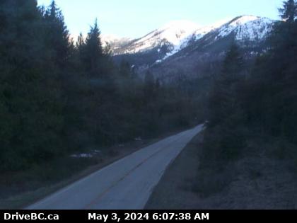
Hwy-3 British Columbia Traffic Cameras
Area E Area E › East: Hwy 3A & Hwy 31 at Busk Road near the Balfour inland ferry terminal entrance, looking at ferry parking lot
![Traffic Cam Area E › East: Hwy 3A & Hwy 31 at Busk Road near the Balfour inland ferry terminal entrance, looking at ferry parking lot Player](https://www.navbug.com/traffic-camshots/BC234996.jpg)
Area E Area E › North: Hwy 33, about 14 km north of Westbridge and 20 km south of Beaverdell, looking north
![Traffic Cam Area E › North: Hwy 33, about 14 km north of Westbridge and 20 km south of Beaverdell, looking north Player](https://www.navbug.com/traffic-camshots/BC58605.jpg)
Terrace Hwy-16 at Hwy-37 near Terrace, looking east on Hwy-16. (elevation: 86 metres)
(Camera map is being updated to show this is looking south)
![Traffic Cam Hwy-16 at Hwy-37 near Terrace, looking east on Hwy-16. (elevation: 86 metres) <div style='font-size:8pt;font-style:italic'> <br>(Camera map is being updated to show this is looking south) </div> Player](https://www.navbug.com/traffic-camshots/BC37296.jpg)
Port Hardy Hwy-19 at Hwy-30 (Port Alice Rd) junction, between Port Hardy and Port McNeill, looking south. (elevation: 85 metres)
![Traffic Cam Hwy-19 at Hwy-30 (Port Alice Rd) junction, between Port Hardy and Port McNeill, looking south. (elevation: 85 metres) Player](https://www.navbug.com/traffic-camshots/BC37148.jpg)
Princeton Hwy-3 at Allison Pass, 10 km west of Manning Park resort area, looking east. (elevation: 1343 metres)
![Traffic Cam Hwy-3 at Allison Pass, 10 km west of Manning Park resort area, looking east. (elevation: 1343 metres) Player](https://www.navbug.com/traffic-camshots/BC37302.jpg)
Grand Forks Hwy-3 at East Lake Drive on east side of Christina Lake, looking northwest. (elevation: 472 metres)
![Traffic Cam Hwy-3 at East Lake Drive on east side of Christina Lake, looking northwest. (elevation: 472 metres) Player](https://www.navbug.com/traffic-camshots/BC37272.jpg)
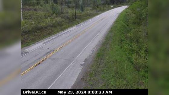
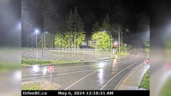
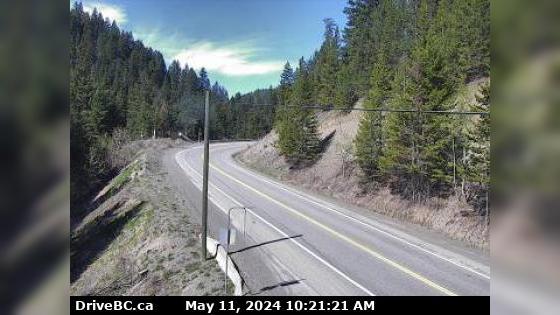
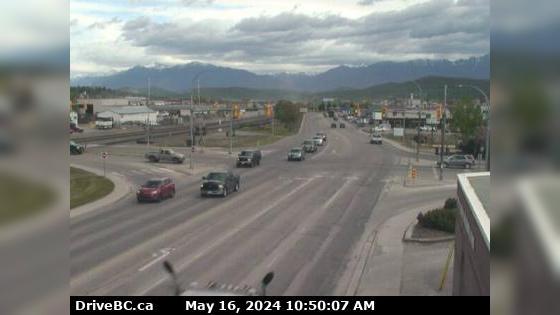
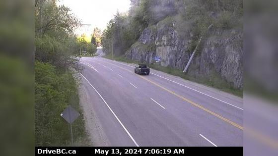
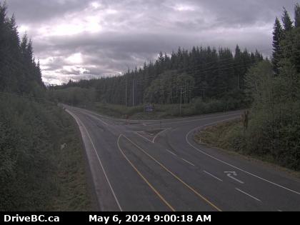
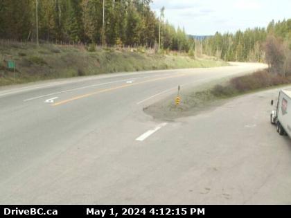
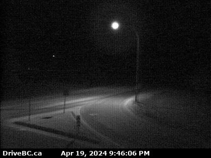
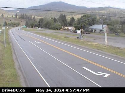
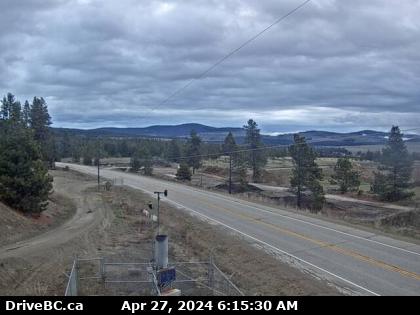
Princeton Hwy-3 at Frontage Rd on the west side of Princeton, looking south. (elevation: 700 metres)
![Traffic Cam Hwy-3 at Frontage Rd on the west side of Princeton, looking south. (elevation: 700 metres) Player](https://www.navbug.com/traffic-camshots/BC37122.jpg)
Osoyoos Hwy-3, 9 km west of the Anarchist Summit, east of Osoyoos, looking east. (elevation: 1139 metres)
![Traffic Cam Hwy-3, 9 km west of the Anarchist Summit, east of Osoyoos, looking east. (elevation: 1139 metres) Player](https://www.navbug.com/traffic-camshots/BC37303.jpg)
Hedley Hwy-3, about 1.4 km east of Bromley Rock Provincial Park, looking east. (elevation: 565 metres)
![Traffic Cam Hwy-3, about 1.4 km east of Bromley Rock Provincial Park, looking east. (elevation: 565 metres) Player](https://www.navbug.com/traffic-camshots/BC36913.jpg)
Hedley Hwy-3, about 1.4 km east of Bromley Rock Provincial Park, looking west. (elevation: 565 metres)
![Traffic Cam Hwy-3, about 1.4 km east of Bromley Rock Provincial Park, looking west. (elevation: 565 metres) Player](https://www.navbug.com/traffic-camshots/BC36914.jpg)
Fruitvale Hwy-3, at the Bombi Summit, approximately 22 km south-east of Castlegar, looking west. (elevation: 1215 metres)
![Traffic Cam Hwy-3, at the Bombi Summit, approximately 22 km south-east of Castlegar, looking west. (elevation: 1215 metres) Player](https://www.navbug.com/traffic-camshots/BC37185.jpg)
New Denver Hwy-31A, at Retallack between New Denver and Kaslo, looking west. (elevation: 1023 metres)
![Traffic Cam Hwy-31A, at Retallack between New Denver and Kaslo, looking west. (elevation: 1023 metres) Player](https://www.navbug.com/traffic-camshots/BC37052.jpg)
Zoom in and out of the this traffic Cam Map, and click on the red camera icon to open the live video feed, and see the traffic on your desired location. Alternatively, you can list all the traffic cams for one city in British Columbia.