West British Columbia Traffic Cameras
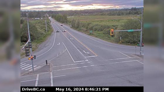
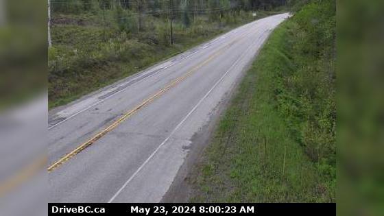
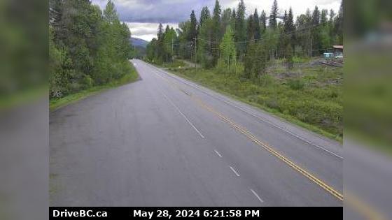
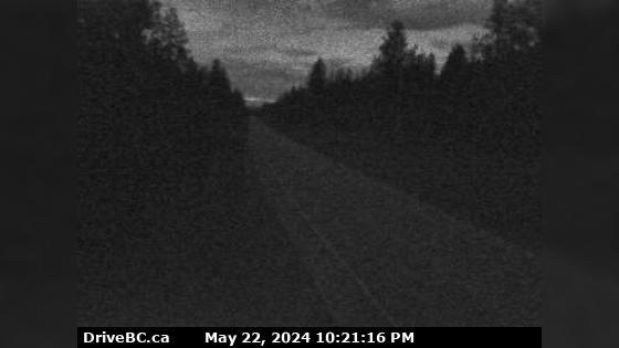
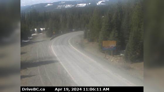
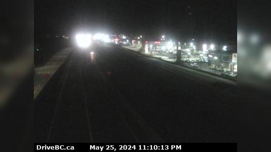
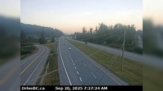
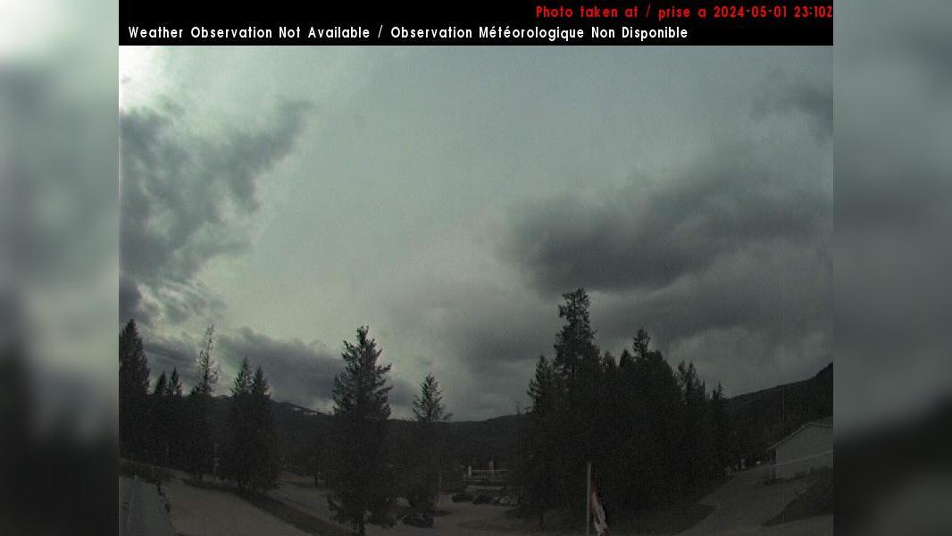
Area A Area A › South-East: Hwy 1 at Field Access Road, about 16 km west of BC/Alberta border, looking southeast
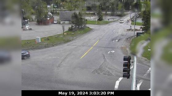
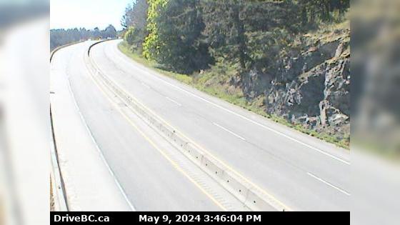
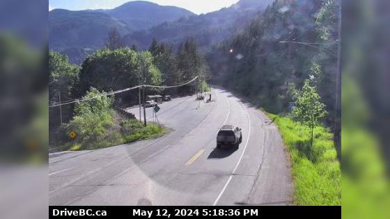
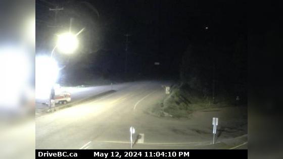
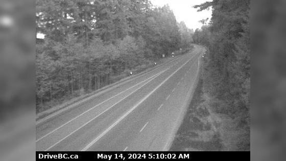
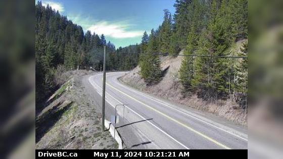
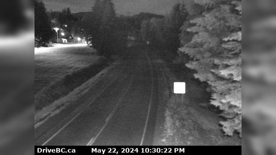
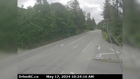
Port Alberni Area D › East: Hwy 4 about 37 km west of Port Alberni at turn off for Taylor River Rest Area, looking east
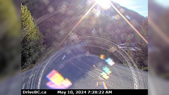
Port Alberni Area D › West: Hwy 4 about 37 km west of Port Alberni at turn off for Taylor River Rest Area, looking west
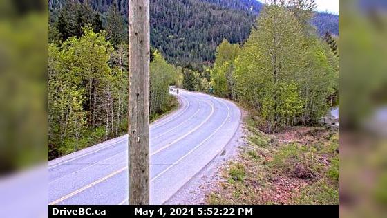
Area E Area E › North: Hwy 33, about 14 km north of Westbridge and 20 km south of Beaverdell, looking north
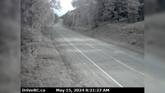
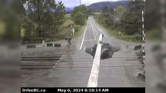
Area K Area K › West: Hwy 6 at Needles Ferry Landing, looking west away from ferry landing towards Needles Rd N
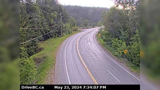
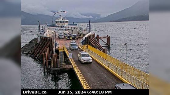
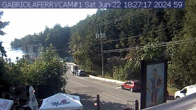
Area P › South-West: Adams Lake Ferry west shore landing, looking at ferry line up toward Rawson Road
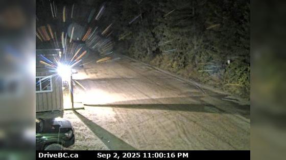
Kimberley Chapman Camp › South-West: Highway 95A at Black Bear Crescent, about 3 km south of Kimberley looking southwest
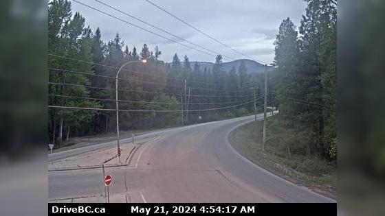
DOT Accident and Construction Reports
-
TYPE: Miscellaneous
-
TYPE: Road Hazard Serious
-
TYPE: Construction Serious
-
TYPE: Miscellaneous Serious
-
TYPE: Construction Serious
-
TYPE: Construction Serious
-
TYPE: Construction Serious
-
TYPE: Construction Moderate
-
TYPE: Road Hazard Moderate
-
Road Closed Highway 4A, in both directions. Vehicle incident between the start of Highway 4A and Stati
TYPE: Miscellaneous Moderate
More results in our West British Columbia Archives


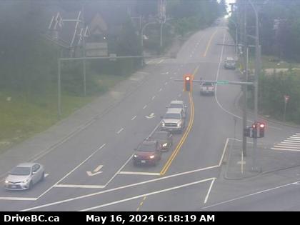
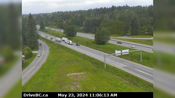
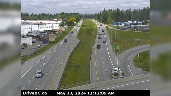
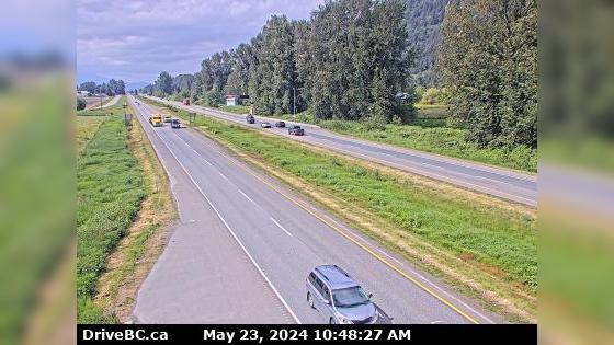
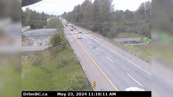



 Traffic Cams
 Highway 3 (Crowsnest Highway). Winter driving conditions between Wright Rd and Tavistock S
 0° F
0° F