

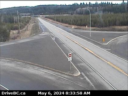
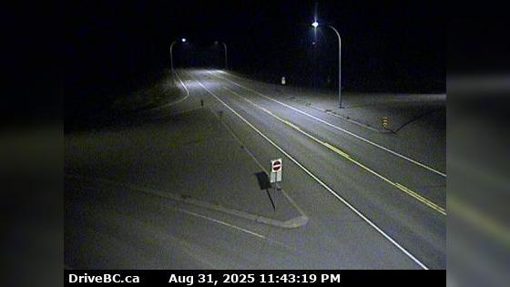
Wy-1 Isle Pierre British Columbia Traffic Cameras

Near Victoria, British Columbia")
 Traffic Cameras Near Me
 1 Traffic Cams
- 1 Abbotsford Traffic Cams
- 1 Agassiz Traffic Cams
- 1 Aiyansh Traffic Cams
- 1 Albert Canyon Traffic Cams
- 1 Anniedale Traffic Cams
- 1 Area A Traffic Cams
- 1 Area B Traffic Cams
- 1 Area C Traffic Cams
- 1 Area E Traffic Cams
- 1 Area F Traffic Cams
- 1 Area H Traffic Cams
- 1 Area I Traffic Cams
- 1 Ashcroft Traffic Cams
- 1 Banff Traffic Cams
- 1 Burnaby Traffic Cams
- 1 Burns Lake Traffic Cams
- 1 Campbell River Traffic Cams
- 1 Chilliwack Traffic Cams
- 1 Cloverdale Traffic Cams
- 1 Cobble Hill Traffic Cams
- 1 Courtenay Traffic Cams
- 1 Delta Traffic Cams
- 1 Duncan Traffic Cams
- 1 Eagle Island Traffic Cams
- 1 Finmoore Traffic Cams
- 1 Fraser Lake Traffic Cams
- 1 Gibsons Traffic Cams
- 1 Glacier Traffic Cams
- 1 Golden Traffic Cams
- 1 Harrison Hot Springs Traffic Cams
- 1 Hazelmere Traffic Cams
- 1 Hazelton Traffic Cams
- 1 Hope Traffic Cams
- 1 Houston Traffic Cams
- 1 Isle Pierre Traffic Cams
- 1 Jasper Traffic Cams
- 1 Kamloops Traffic Cams
- 1 Kincolith Traffic Cams
- 1 Kitwanga Traffic Cams
- 1 Ladner Traffic Cams
- 1 Ladysmith Traffic Cams
- 1 Lake Cowichan Traffic Cams
- 1 Lake Louise Traffic Cams
- 1 Langford Traffic Cams
- 1 Langley Traffic Cams
- 1 Lynnmour Traffic Cams
- 1 Mcbride Traffic Cams
- 1 Metchosin Traffic Cams
- 1 Mill Bay Traffic Cams
- 1 Mission Traffic Cams
- 1 Mud River Traffic Cams
- 1 Nanaimo Traffic Cams
- 1 Nanoose Bay Traffic Cams
- 1 New Westminster Traffic Cams
- 1 North Vancouver Traffic Cams
- 1 Pacific Traffic Cams
- 1 Parksville Traffic Cams
- 1 Pitt Meadows Traffic Cams
- 1 Port Edward Traffic Cams
- 1 Port Hardy Traffic Cams
- 1 Port Mann Traffic Cams
- 1 Port Neville Traffic Cams
- 1 Prince George Traffic Cams
- 1 Pritchard Traffic Cams
- 1 Qualicum Beach Traffic Cams
- 1 Revelstoke Traffic Cams
- 1 Saanich Traffic Cams
- 1 Salmon Arm Traffic Cams
- 1 Salmon Valley Traffic Cams
- 1 Savona Traffic Cams
- 1 Shere Traffic Cams
- 1 Sicamous Traffic Cams
- 1 Sidney Traffic Cams
- 1 Smithers Traffic Cams
- 1 Sointula Traffic Cams
- 1 Sooke Traffic Cams
- 1 Sorrento Traffic Cams
- 1 Stephen Traffic Cams
- 1 Surrey Traffic Cams
- 1 Terrace Traffic Cams
- 1 Tsawwassen Traffic Cams
- 1 Valemount Traffic Cams
- 1 Vancouver Traffic Cams
- 1 Vanderhoof Traffic Cams
- 1 Victoria Traffic Cams
- 1 View Royal Traffic Cams
- 1 White Rock Traffic Cams
- 1 Zeballos Traffic Cams
-
 Other Cities Along Wy-1
 - 1 Isle Pierre, BC Traffic
 Wy-1 Isle Pierre, BC Accident Reports
  Wy-1 Isle Pierre, BC Weather Conditions
![]() More results in our Wy-1 Isle Pierre British Columbia Archives
More results in our Wy-1 Isle Pierre British Columbia Archives
![]() All Wy-1 British Columbia Traffic Cams
All Wy-1 British Columbia Traffic Cams
 Isle Pierre Motorcycle Accidents
 Isle Pierre Truck Accidents
 Isle Pierre DUI Related Accidents
 Isle Pierre Fatal Accidents
 73° F
73° F